Your Geospatial Experts
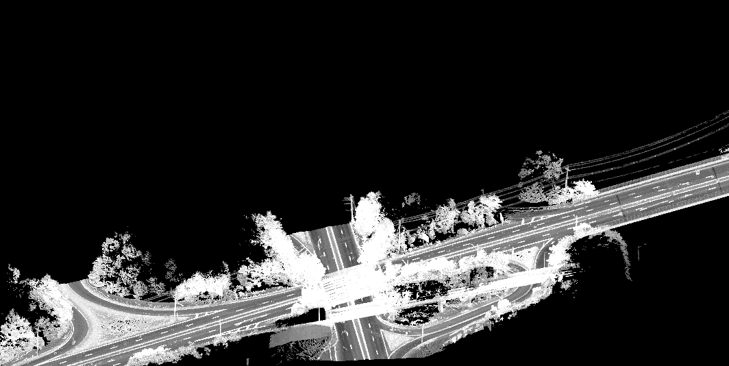
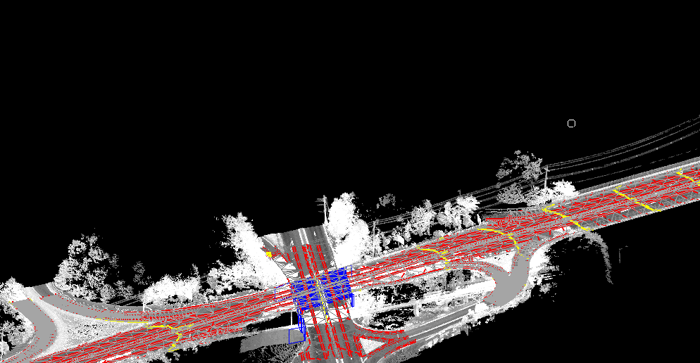
We bring over 20 years of experience in geospatial project management, reality capture, and mobile mapping solutions.
With a proven track record of over two decades, John Arnold brings dynamic leadership and cutting-edge expertise in geospatial technologies and consulting. His career highlights include managing multi-million dollar projects, training teams, and delivering high-quality solutions for diverse clients.
Contact us
Interested in working together? Fill out some info and we will be in touch shortly. We can’t wait to hear from you!


